Pakistan experiences / independent guide
Attabad Lake is a vivid pause on the journey from Karimabad into upper Hunza. Its beauty comes with a more recent human story: the lake formed after a 2010 landslide. Approach it with respect for the communities affected, then choose a lakeside stop, a viewpoint or a carefully assessed boat trip.
Find your bearings
Where it happens
See the terrain and surrounding places along this journey. The numbered places match the stops below; this is an orientation map, not turn-by-turn navigation.
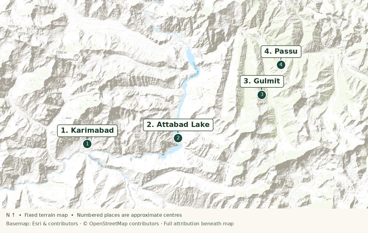
- 1Karimabad
- 2Attabad Lake
- 3Gulmit
- 4Passu
Sources: Esri, HERE, Garmin, Intermap, increment P Corp., GEBCO, USGS, FAO, NPS, NRCAN, GeoBase, IGN, Kadaster NL, Ordnance Survey, Esri Japan, METI, Esri China (Hong Kong), © OpenStreetMap contributors, and the GIS User Community.
The experience
What the visit is like
The first view
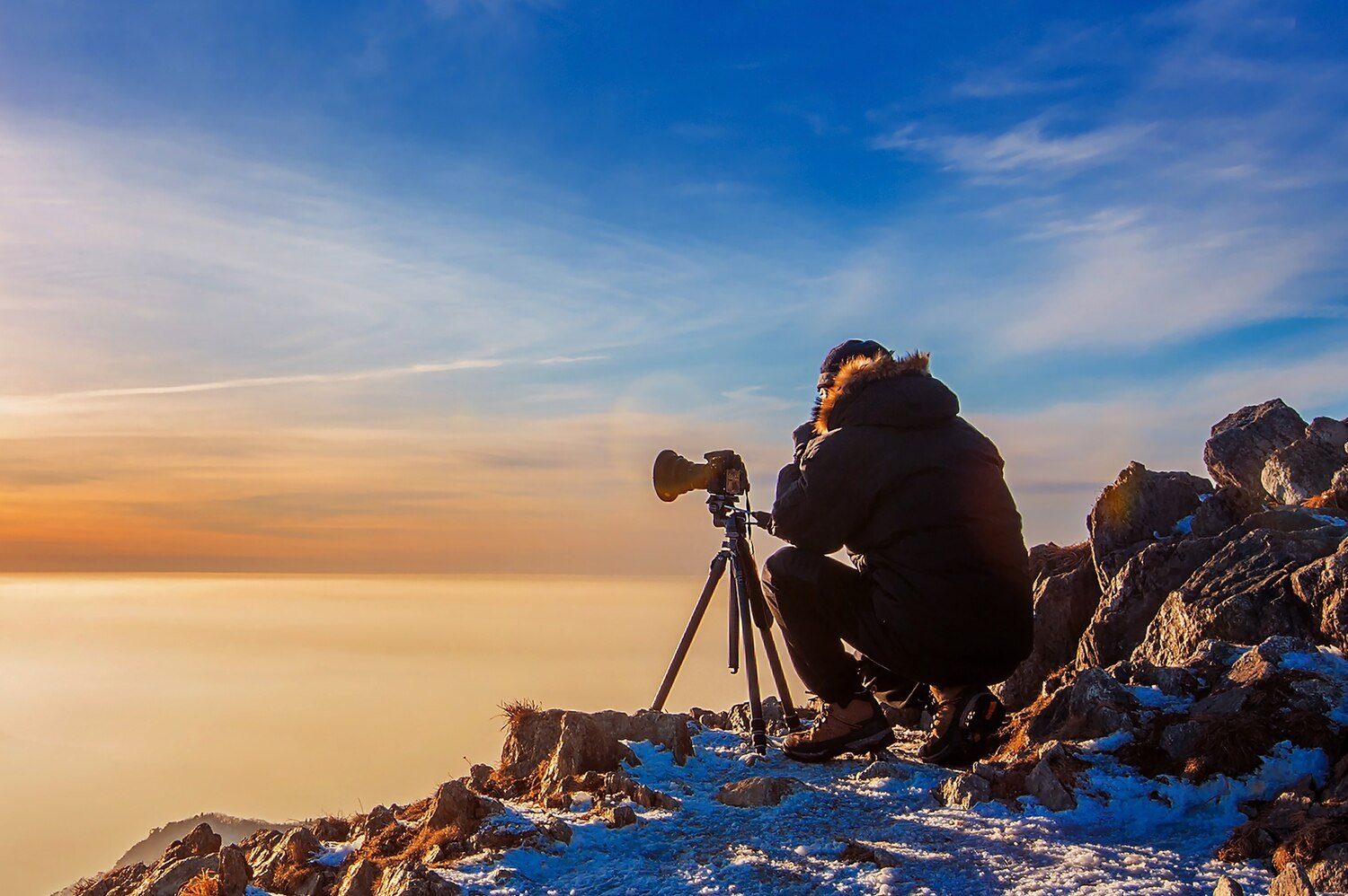
Travel north from Karimabad and pause at a safe stopping point for the lake’s changing blue-green colour. Light and season affect the view; no single photograph tells the whole story.
At the water
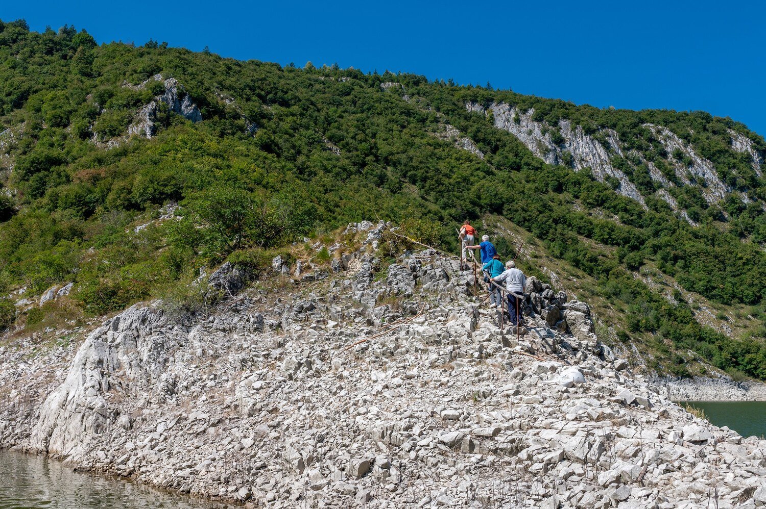
A short boat outing is optional, not essential. Ask about life jackets, weather, operator standards and return arrangements. A relaxed shore visit can be just as rewarding.
Continue north
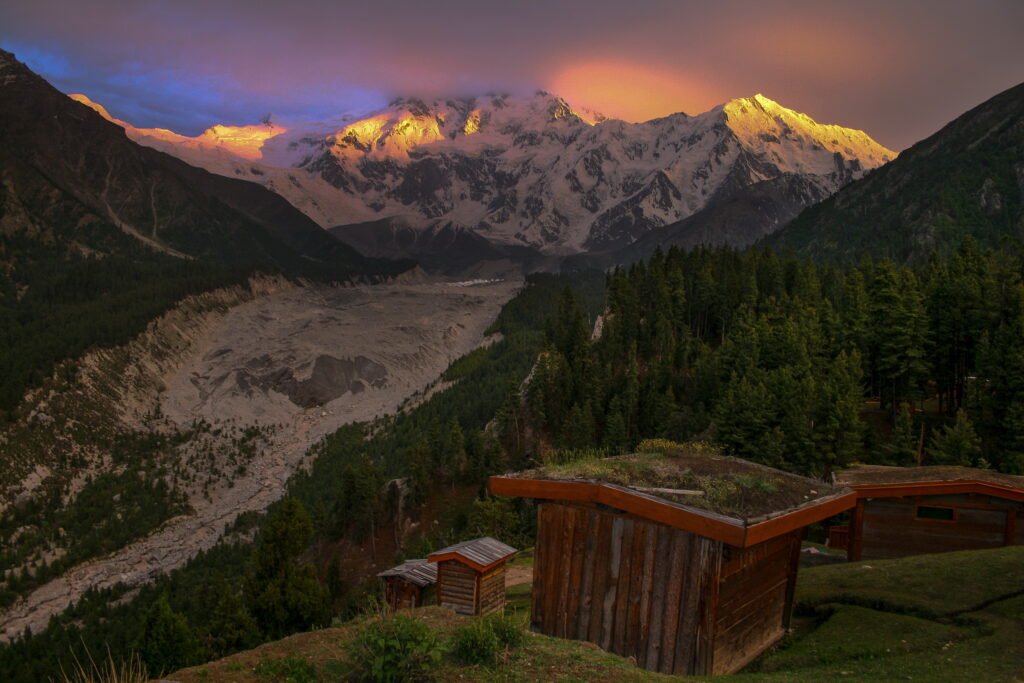
Gulmit and Passu make a natural extension for village atmosphere and mountain views. Give them their own time rather than folding everything into a brief stop at the lake.
Plan well
Practical details
Best rhythm
Allow a half-day at the lake or a full day if continuing to Gulmit and Passu. Leave room for road delays and a daylight return.
When to go
The road is used across seasons, but weather and local services vary. Check conditions and boat availability on the day.
What to bring
A warm layer, sun protection, cash and water. Keep children close near steep shore edges; do not assume the lake is safe for swimming.
Respectful travel
Use designated parking and viewing areas, keep noise low in villages, and ask before photographing residents or private property.
Good to know
Questions travellers ask
Is a boat ride necessary?
No. The scenery and onward villages provide a complete outing without going on the water.
Can I combine it with Passu?
Yes, on a well-paced full day from Hunza, provided road and daylight conditions allow.
Keep exploring
Make it part of a journey
Use the related guide or itinerary to give this experience the time it deserves.
Editorial map and guidance are indicative. See local destination information and current UK travel advice. Map outline: Natural Earth.