The best trail is the one that suits your journey. A village walk, a mountain approach and a multi-day expedition require very different preparation; use this guide to choose the right level before choosing a famous name.
Choose your walking level
| Type | Good starting question | Preparation |
|---|---|---|
| Village or town walk | Can I shorten the route easily and reach my base? | Ask about gradients, access, surfaces and local customs. |
| Guided valley day walk | How much ascent and walking time is involved? | Choose a reputable guide and confirm weather and turnaround points. |
| Remote mountain approach | What happens if I cannot finish or transport is disrupted? | Arrange support, appropriate equipment and emergency plans. |
| Multi-day high-altitude trek | Do I have the experience and time for this expedition? | Specialist operator, acclimatisation plan, permits and suitable insurance. |
Distance alone is a poor measure. A shorter route with steep ascent, rough ground or altitude can be harder than a longer low-level walk. Ask for both expected walking hours and elevation change.
Three useful starting points
Hunza village walking: build a route around where you are staying, with a local guide where needed. Ask about private paths, gradients and a shorter alternative. This can be a rewarding cultural day without an ambitious mountain objective.
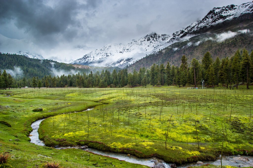
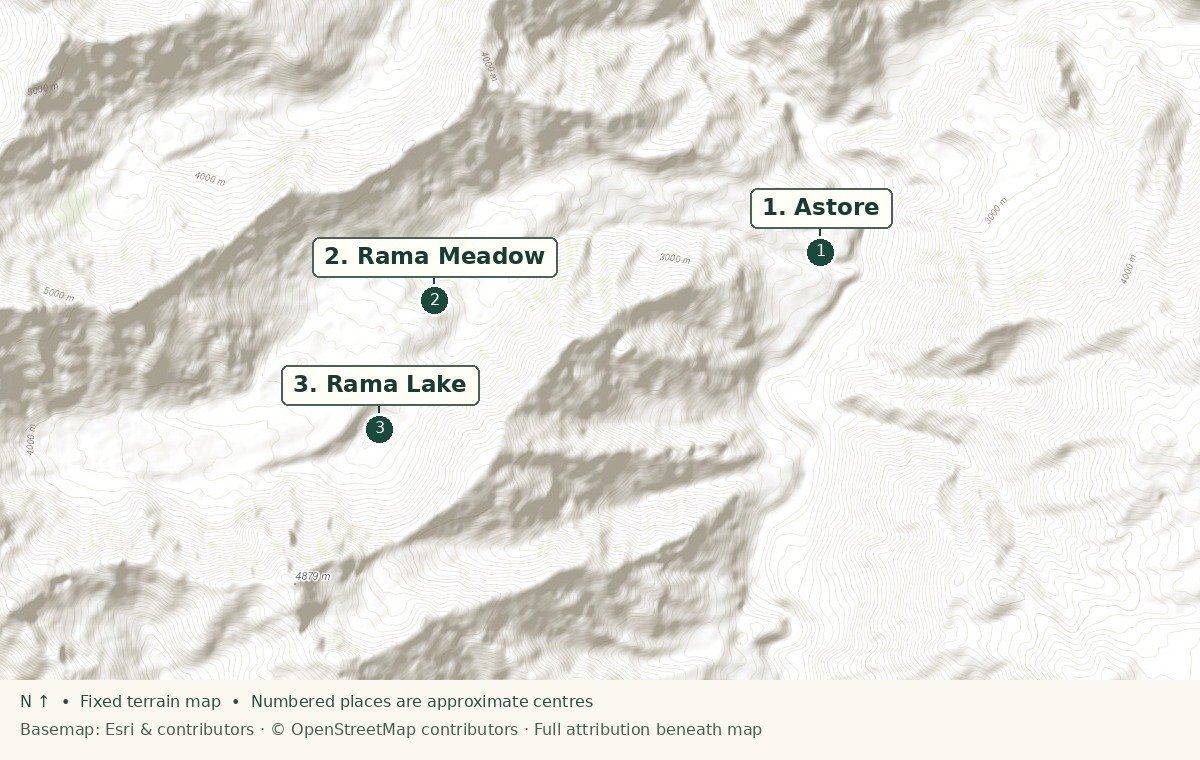
Rama meadow area: use the meadow as a starting idea, then agree the specific walking route locally. Reaching a lake or higher ground is a separate decision affected by snow, weather and fitness.
Fairy Meadows: treat the road approach and walk as a planned excursion with its own logistics. It is not interchangeable with a casual viewpoint stop. Review current advice and arrange an established operator rather than improvising the approach.
K2 Base Camp and other remote expeditions need dedicated time, specialist preparation and current permissions. They should not be added to a short sightseeing itinerary simply because a photograph appeals.
Questions that reveal a good operator
- What is the exact route, total ascent, altitude and expected walking time?
- What experience should each traveller already have?
- Who guides us, and what is the guide-to-traveller ratio?
- What permits or local registrations apply to our nationality and route?
- How are weather changes, turnaround decisions and evacuation handled?
- Which equipment, meals, accommodation and transfers are included?
- What communication works along the route?
Ask for written answers and a clear cancellation policy. Permit requirements and processing arrangements can change; let a reputable operator explain the current process before you commit to travel dates.
Build a sensible walking day
Leave time for breakfast, equipment checks and a route briefing. Agree a turnaround time, keep the group together and carry essential supplies yourself even when a guide is present. A shorter route is a good outcome when conditions change.
Do not use this article or a static overview map as a navigation aid. Carry appropriate offline route information and follow an established route with suitable local support. Match your insurance to the actual activity, altitude and travel advisory status, not just the country name.
Look after the place you came to see
- Carry out litter, including tissues and food packaging.
- Stay on agreed paths and avoid trampling fields.
- Ask before photographing residents or entering private space.
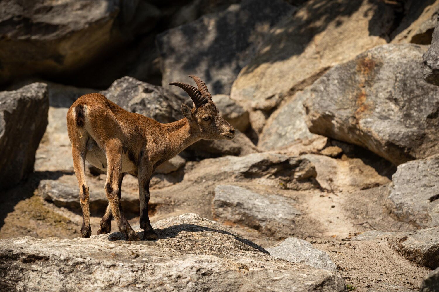
- Do not approach wildlife or feed animals.
- Support local guiding and accommodation providers with clear, fair arrangements.
For altitude or other individual health concerns, speak to a qualified travel-health professional before departure. Equipment and determination are not substitutes for acclimatisation or an appropriate itinerary.